edithbertrand.com
edithbertrand.com
a screenshot of the walk
a drawing of the walk
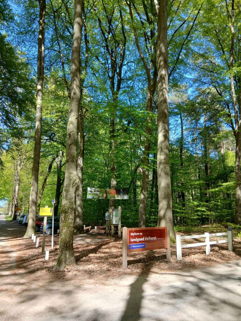
Enter ‘Lageweg car park’ (parkeerplaats Lageweg) into your sat-nav. The full address is: parkeerplaats Lageweg, Lageweg, 7241 TB Lochem.
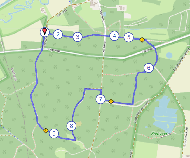
This link will take you to the route on Google Maps: https://afstandmeten.nl/index.php?id=4157453, a screenshot of which is shown above.
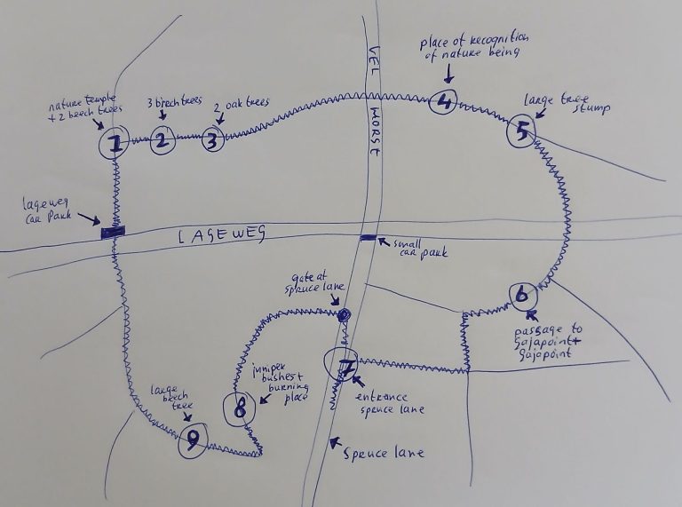
Numbers 1 to 9 indicate nature spots along the route.
1. The nature temple and the two beech trees at the start
2. The three birch trees
3. The two oak trees
4. The place of recognition of nature beings
5. The large tree stump
6. The passage to the Gaja point and the Gaja point
7. The entrance by the spruce lane
8. The juniper bushes and, just behind them, the burning place
9. The large beech tree
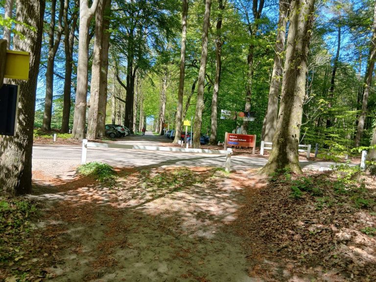
Lageweg car park
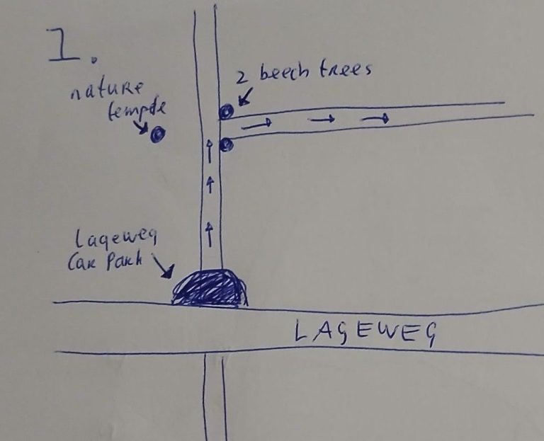
the car park, the nature temple and the two beech trees at the start
From the Lageweg car park, walk into the woods. Take the path leading directly from the car park itself, not the one where you first have to cross the road.
A little further on, you see a path to the right. You’ll take that path shortly after you’ve visited the nature temple and paused by the two beech trees. At the entrance to that path on the right, you see two beech trees. These form the first actual nature spot on the Velhorst Crystalline meditation walk. Do not walk between the beech trees just yet. First, head to the natural temple located opposite these two beech trees, on the left-hand side of the path you are walking along.
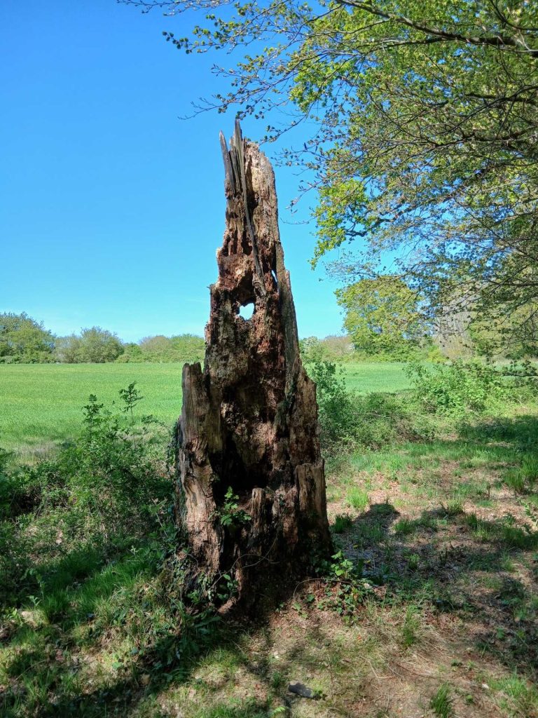
the natural tempel
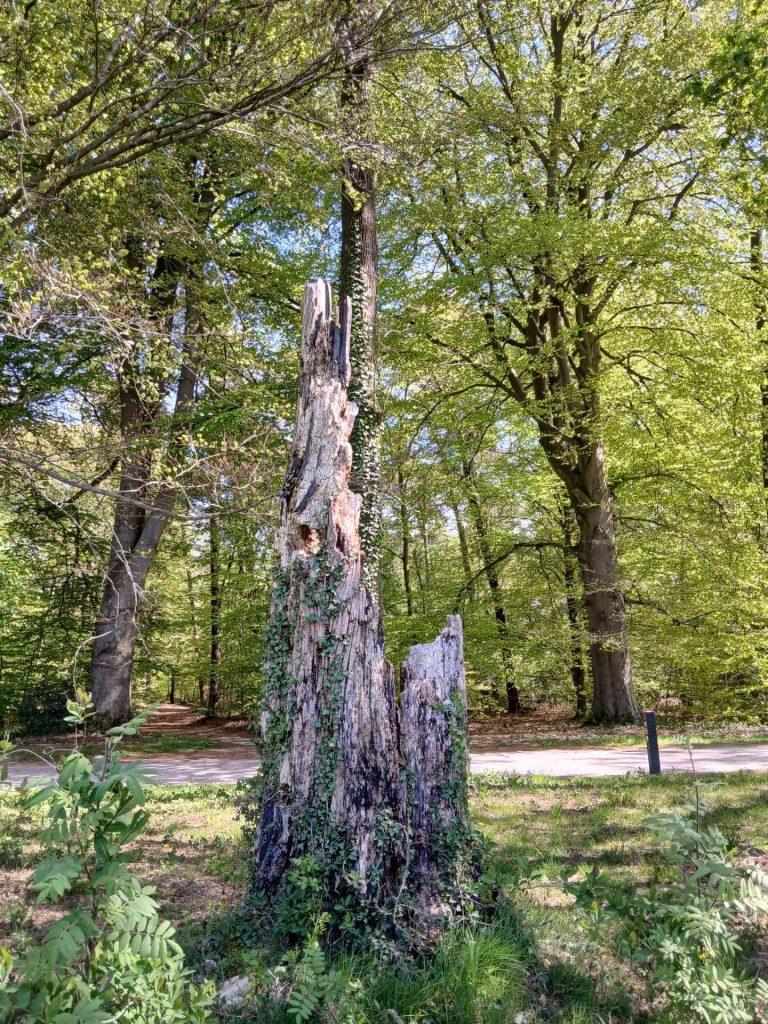
The two beeches are in the background.
From the natural temple, walk back a few metres to the path you came from, and stop in front of the two beech trees that mark the entrance to the path you are about to take. Seen from the Lageweg car park, this is the first path on the right.
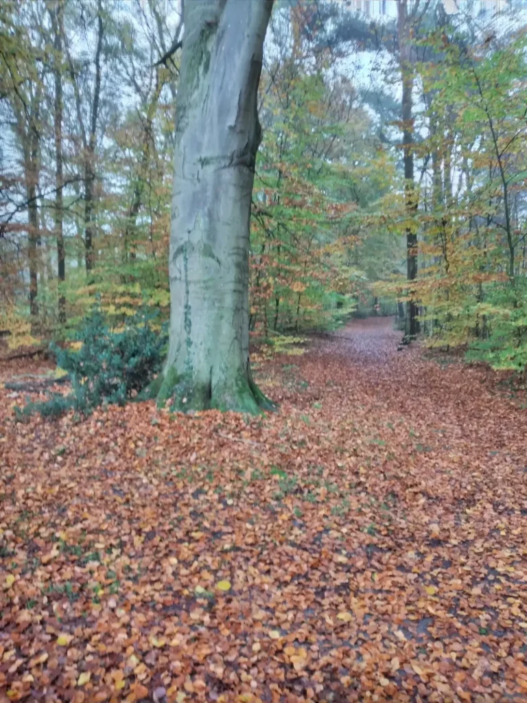
one of the two beeches
Distance: from the point between the two beech trees to the three birches: approx. 110 m.
Walk between the two beech trees and head towards the three birch trees, which stand on the left-hand side of the path. These three birch trees stand right next to the path and are close together. This makes them clearly visible.
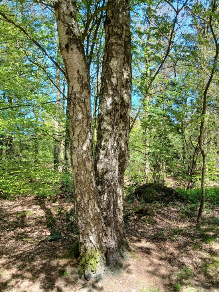
the three birches
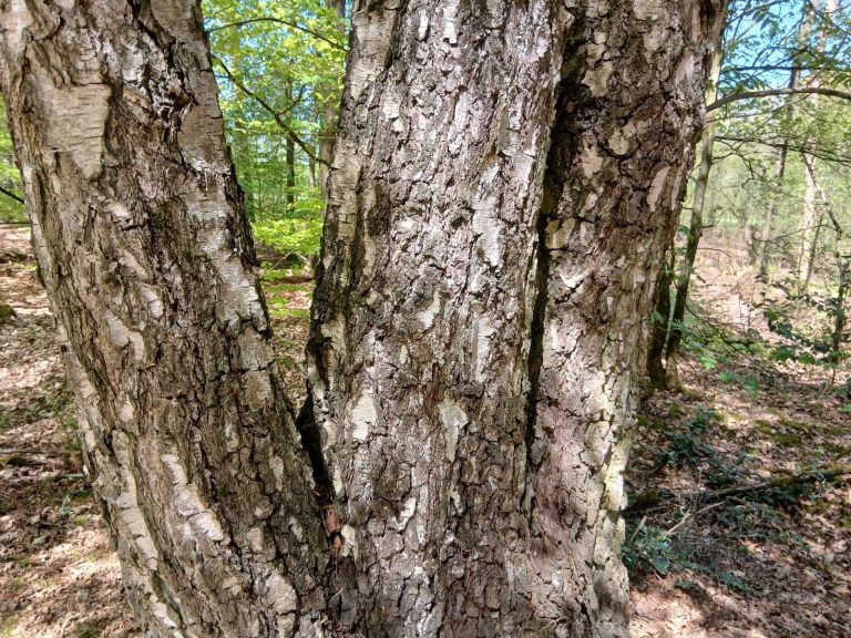
the three birches
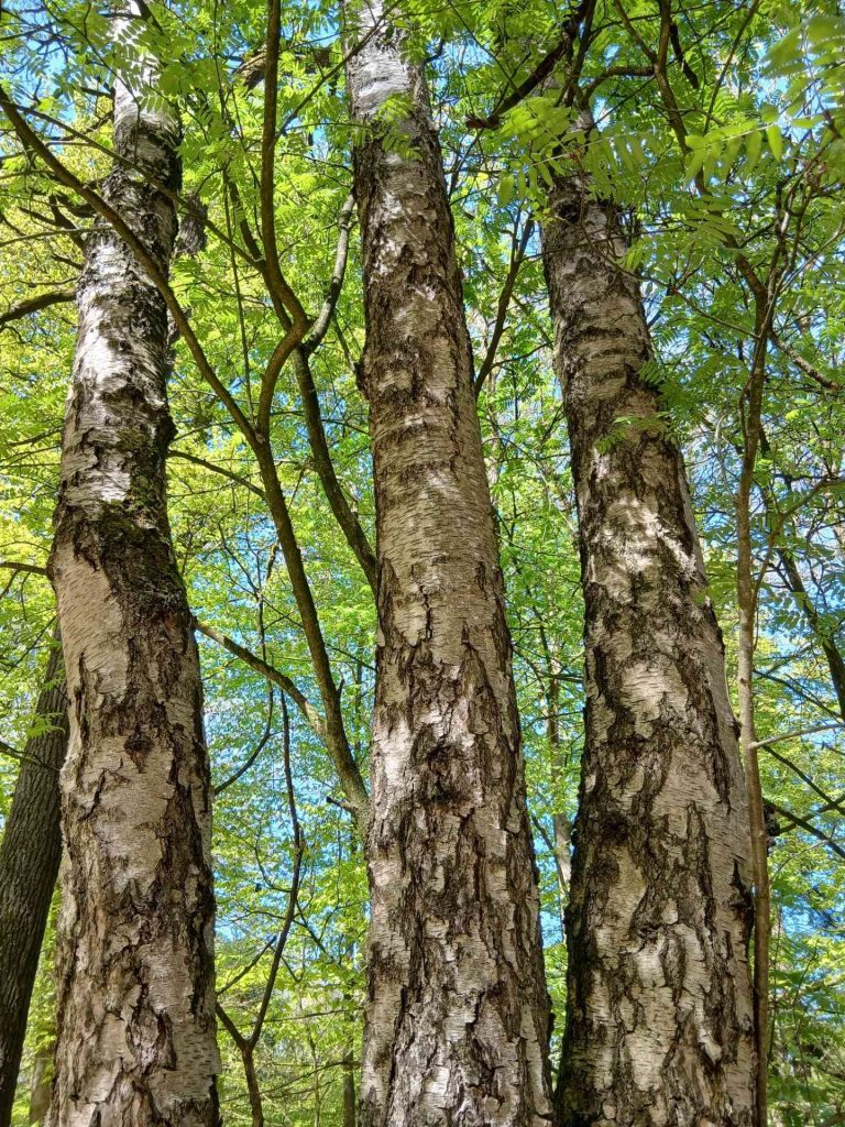
the three birches
Distance: from the three birch trees to the two oak trees: approx. 170 m.
As you walk from the three birch trees towards the two oak trees further on, at some point you will see a meadow on your left, a little way off the path, peeking through the greenery. That meadow will serve as your landmark, letting you know that you need to keep an eye out for the two oak trees. When the meadow on the left ends, it is about ten metres further on that the two oak trees stand. They are also on the left of the path. Because both oak trees are just a little further off the path, they are less visible than the three birch trees you practically bump into. A small conifer stands next to them. The three of them are situated slightly higher than the path. If you stand on the path exactly where the two oaks are on the left-hand side, you will only see one oak because, from that position, they are standing one behind the other. The two oaks haven’t grown together, and you can stand between them if you like, or lie down or hang (together with the ground between them, they form a sort of hammock).
If you cross a small road and haven’t seen them yet, you’ve gone too far. You’ve missed them and need to turn back. The road crossing is about 200 m from the two oaks.
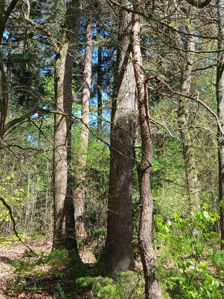
the two oaks
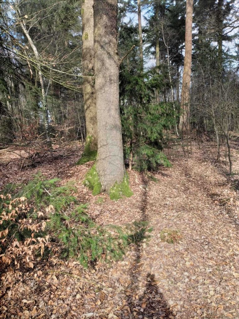
the two oaks
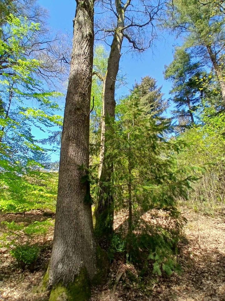
the two oaks
Distance: from the two oaks to the place of recognition of the nature beings: approx. 270–280–290 m.
You walk on from the two oak trees and cross a road after approx. 200 m. The place of recognition of nature beings is on the right-hand side of the path. There are several small clearings amongst the rhododendrons that are suitable for this. From such a spot, you can see a few furrows in the ground running in both directions: towards the path and at right angles to it. If you have these in front of you, you’re in the right place. You have a few options for this.
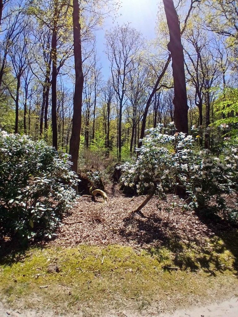
the place of recognition of nature beings
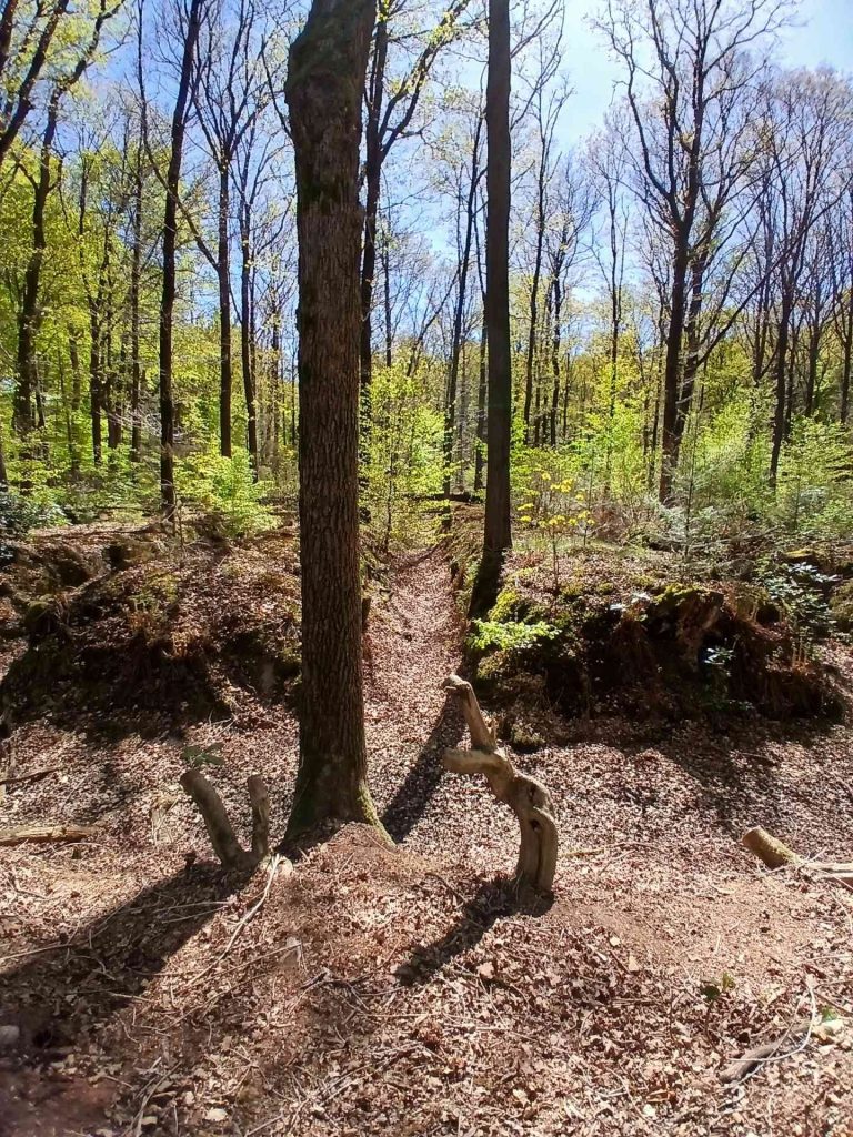
the place of recognition of nature beings
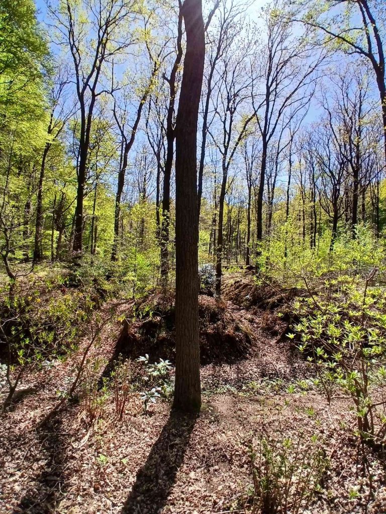
the place of recognition of nature beings
Distance: from the spot of recognition of nature beings to the large tree stump: approx. 100 - 110 - 120 m.
Walk a little further down the path and you will see a large, low tree stump on the right-hand side, right next to the path. That’s the one.
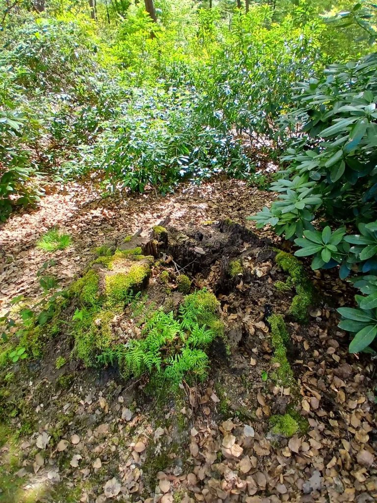
the large tree stump
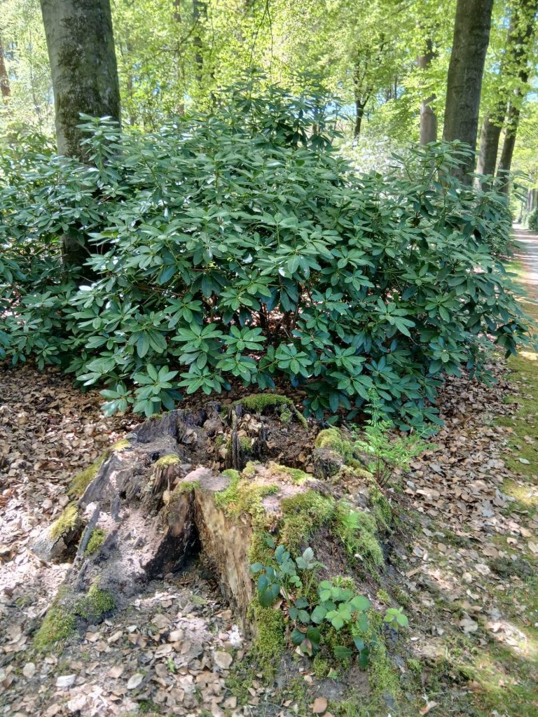
the large tree stump
Distance: from the large tree stump to the passage to the Gaja point: approx. 410 m.
Continue along the path past the large tree stump.
Turn right at a path that runs diagonally to the right, located approx. 120 m past the large tree stump.
Once you have turned right, you will soon come to a road crossing, which you cross. This is approx. 200 m past the large tree stump.
Continue along the path and at some point you will come across a path to the left which you do not take, but which does provide a useful landmark. That path to the left, which you do not take, is located approx. 360 m past the large tree stump. From this point, walk straight ahead, immediately up the small slope where the path to the Gaja point begins. That is why the path to the left is so useful: it helps you identify which slope is meant.
The passage to the Gaja point is formed by the top of the small hill and the path until you have descended the slope.
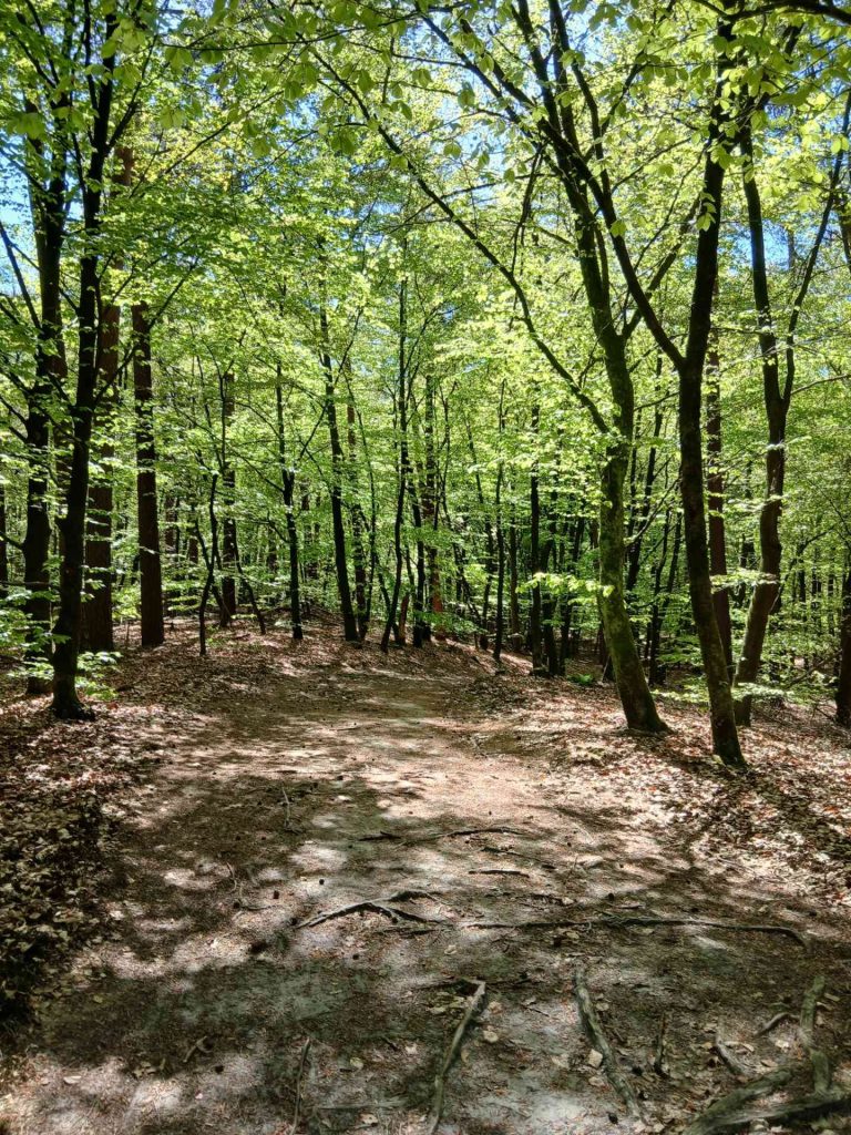
the passage to the Gaja point
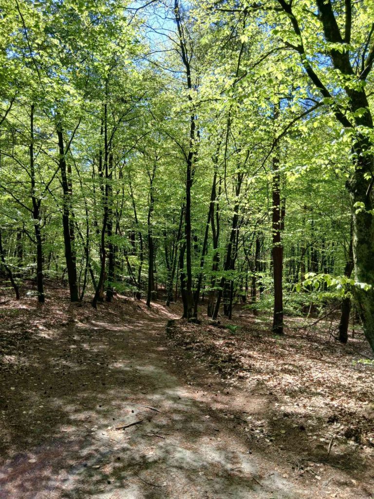
the passage to the Gaja point
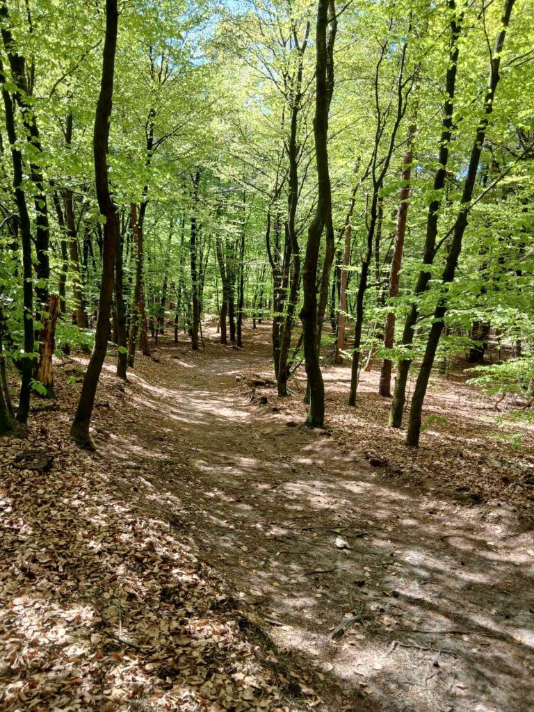
the passage to the Gaja point
Distance: from the start of the passage to the Gaja point itself: approx. 30 m.
At the bottom of the small hill and the patch of ground to its right is the Gaja point.
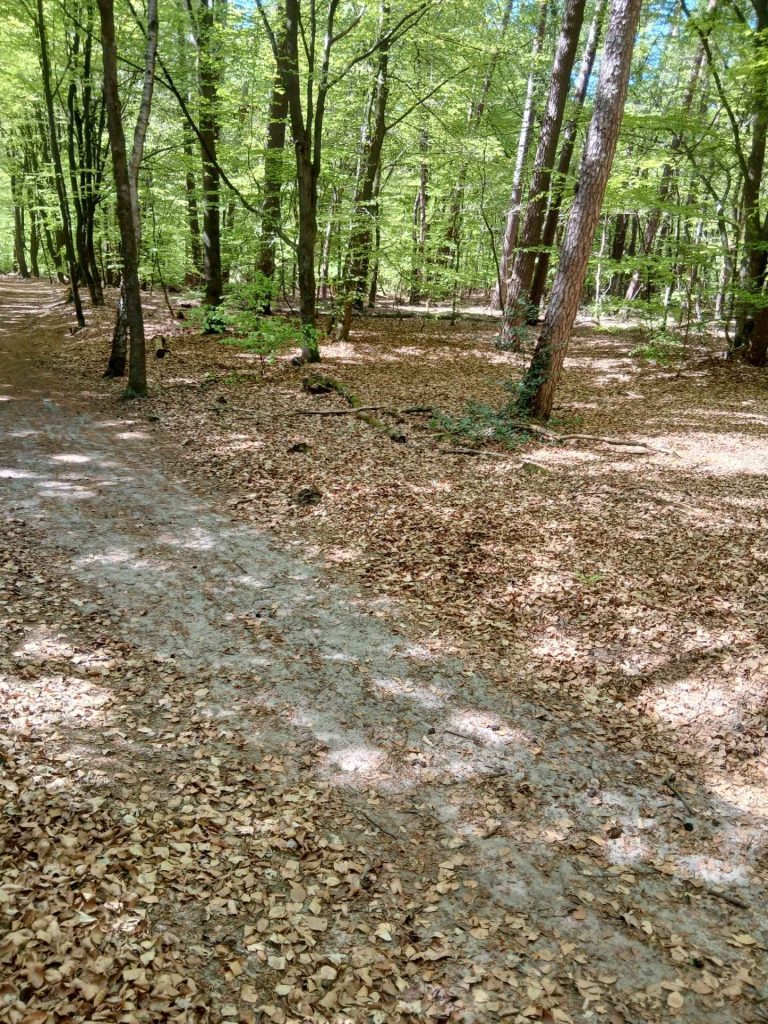
the Gaja point
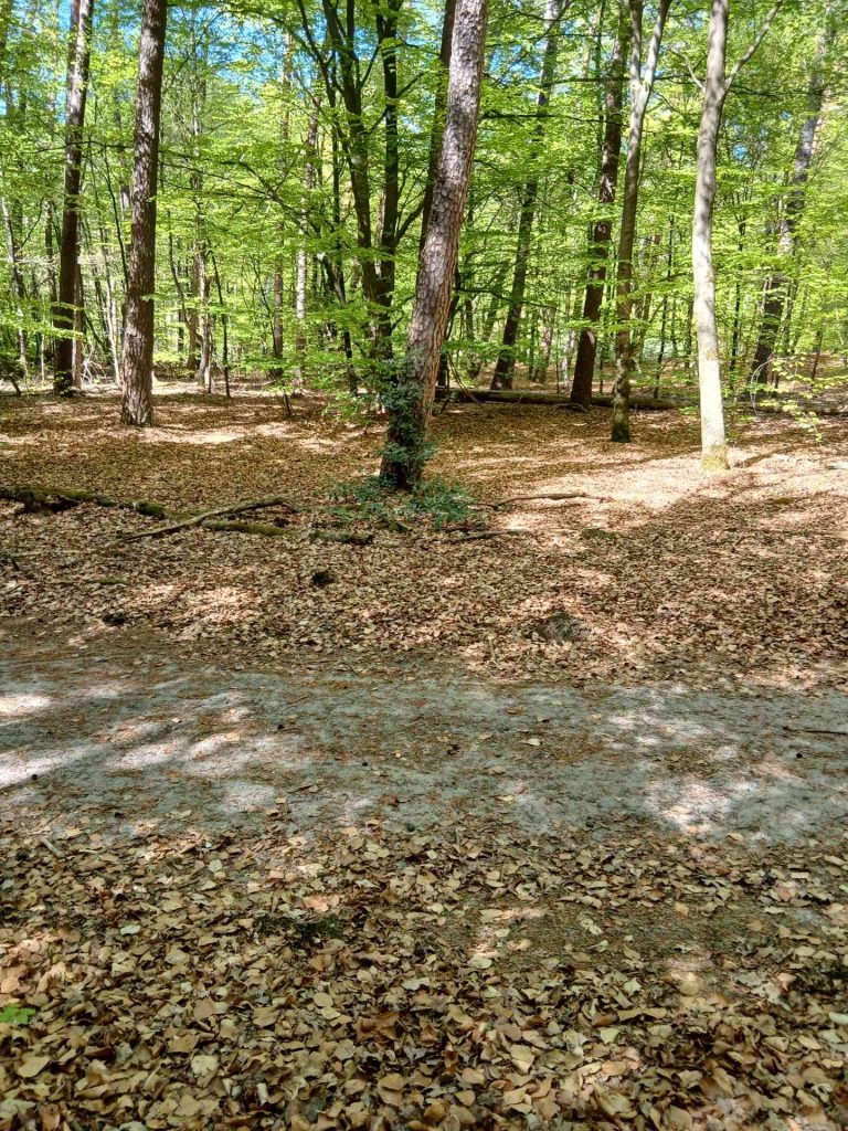
the Gaja point
Distance: from the Gaja Point to the spot where you prepare for the spruce lane: approx. 530 m.
After the Gaja point, continue along the route. Turn left at the first path on the left. This is located approximately 30 m from the Gaja point.
Then turn right at a junction, which is also the first path on the right. This is located approximately 300–310 m from the Gaja Point.
If you carry on walking for a short while, you will eventually see the spruce lane ahead of you, which runs at right angles to the path you are on. Before you turn onto the spruce lane, prepare yourself and read the text next to it. So you don’t do this on the spruce avenue itself, but just before it. The instructions explain why this is the case.
On the spruce lane itself, find yourself a spot.
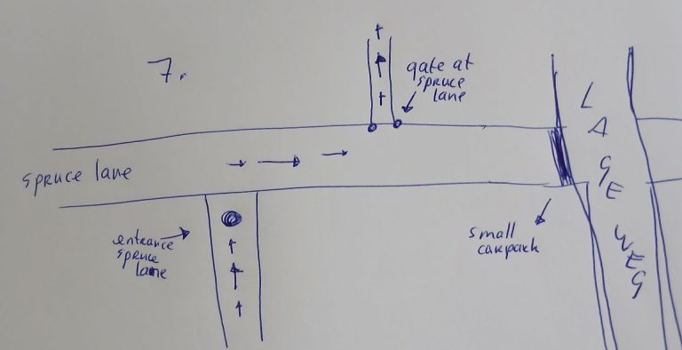
the entrance by the spruce lane, the spruce lane and the gate at the spruce lane
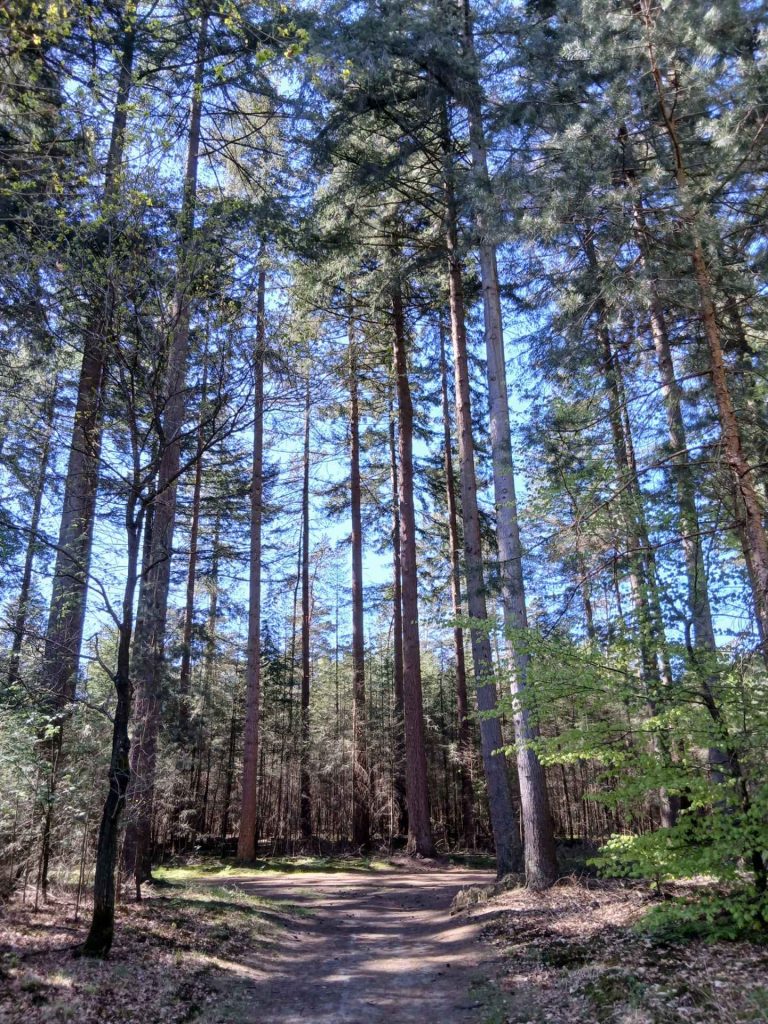
preparation spruce lane
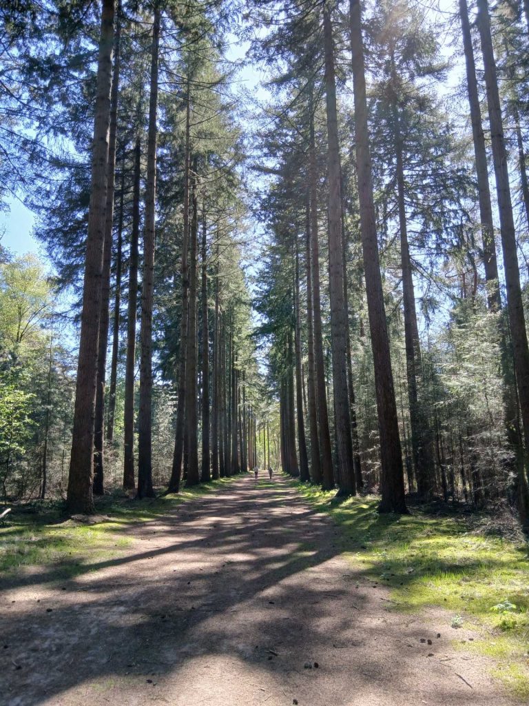
the spruce lane
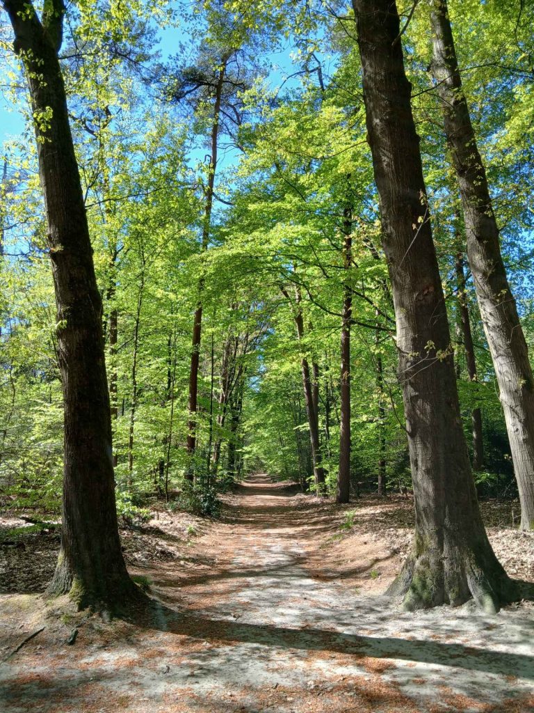
gate at the spruce lane
Distance: from the gate at the spruce lane to the juniper bushes: approx. 440 m.
As you continue, looking from the path you came from, you turn right onto the spruce lane. So as you continue, looking from the spot where you prepared, you turn right. A little further on, there is a path to the left. (If you were to walk straight on, you would come out at a small car park.) At the entrance to that path there are two trees that form the boundary of spruce lane. Not an entrance gate, but a boundary gate. I call that spot the gate at spruce lane.
Continue along the path after passing through the gate at the spruce lane. After about 110–120 m, the path bends to the left. A little further on, you’ll go through a fence, which is located about 290 m from the gate on the spruce lane.
The juniper bushes you pass by for the meditation walk are on the left-hand side of the path, about 440 m from the gate of the spruce lane. After the fence, you’ll eventually see a fairly bare patch on your right. Once that ends, you’ll walk a very short distance with trees on both sides, and immediately after that there’s a bare patch on your left. The first group of juniper bushes there, which are closest to the path, are part of the walk.
But even if you don’t spot the juniper bushes straight away, or if you’re unsure, that’s no problem. Because after the juniper bushes is the burning place, and immediately after that you come to a T-junction. If you walk back from the T-junction, you’ll see the burning place to your right and the juniper bushes after that, also on the right-hand side.
You can’t miss it.
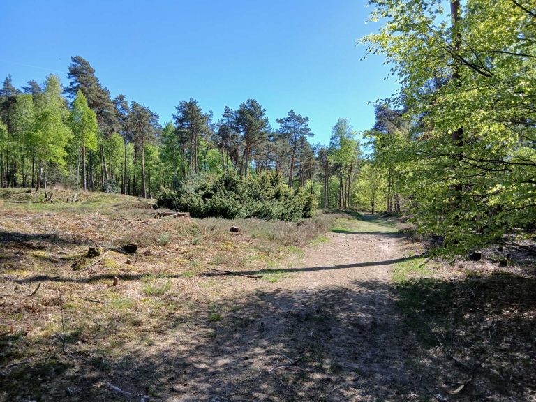
The group of bushes to the left of the path are the juniper bushes.
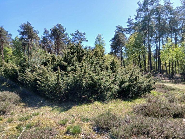
the juniper bushes
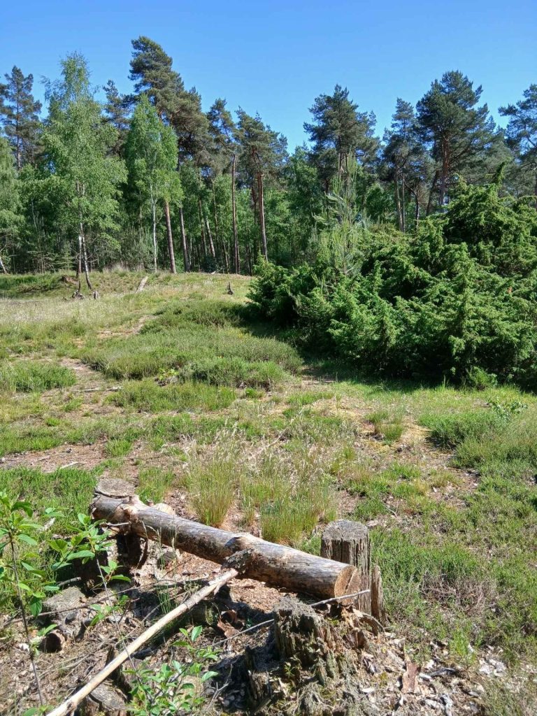
a sort of bench next to the juniper bushes
The burning place is located about 40 metres past the juniper bushes, also on the left-hand side of the path.
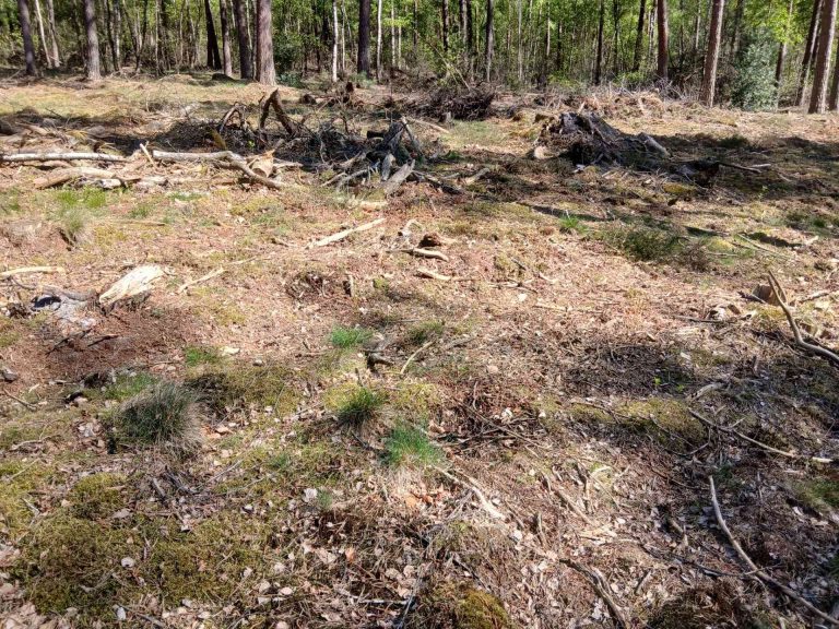
the burning place
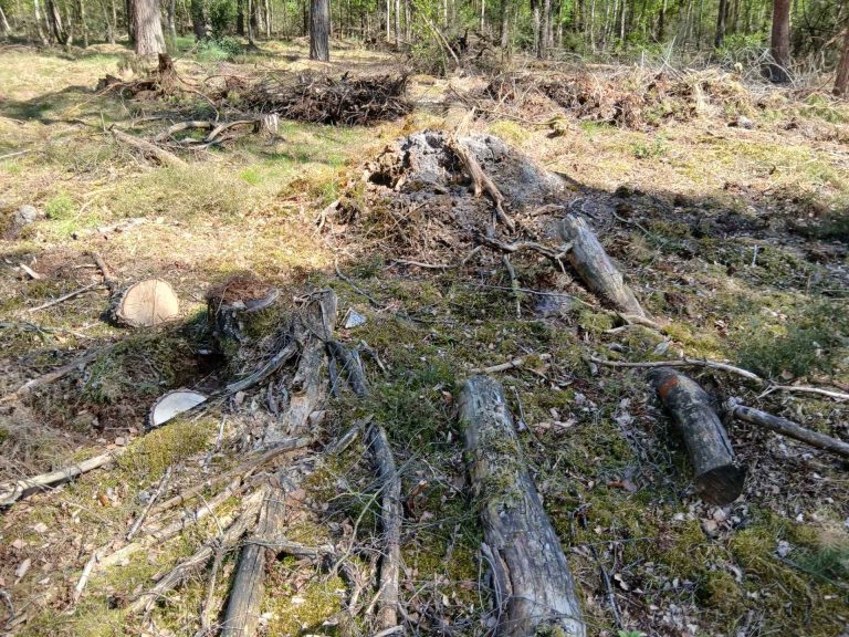
the burning place
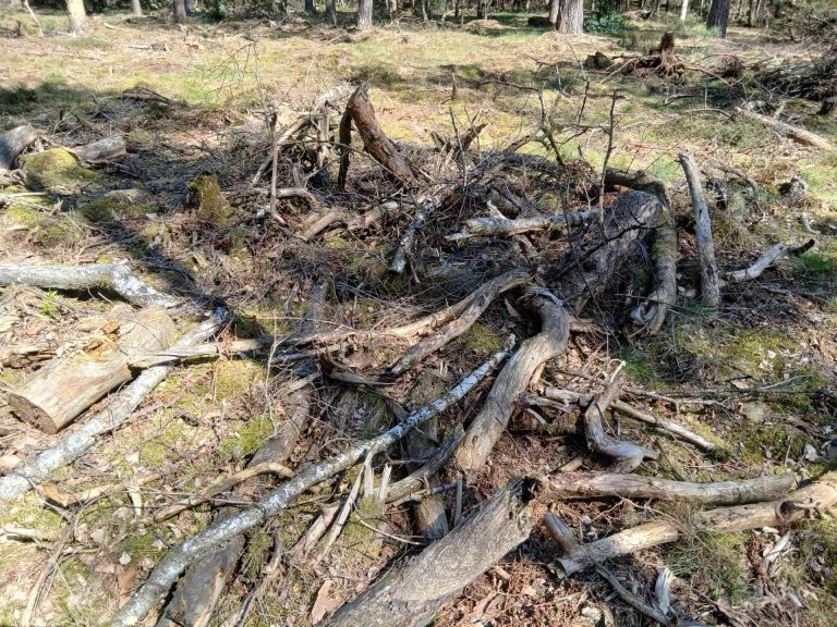
the burning place
Distance: from the burning place to the large beech tree: approx. 240 m.
After the burnt area, carry on walking.
You will then very quickly come to a T-junction, about 80 m from the burning place. Turn right there.
About 240 m after the burning place, you will see two groups of juniper bushes on the right-hand side of the path, with a tall oak tree between them. This oak tree stands against the group of juniper bushes bordering the path. The other group of juniper bushes stands slightly apart from it.
Once you have found this spot, you will also find the large beech tree. Opposite it, on the left-hand side of the path, stands the large beech tree. If it is not covered in leaves, you can see it. It stands a few metres from the path and has large, low-hanging branches. In summer, all you can see from the path are leaves.
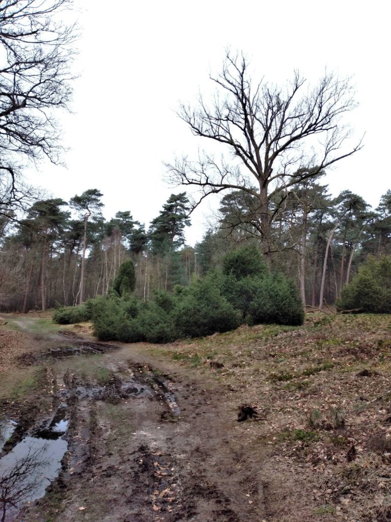
the oak with two groups of juniper bushes (the right one barely visible) opposite the spot where the large beech stands
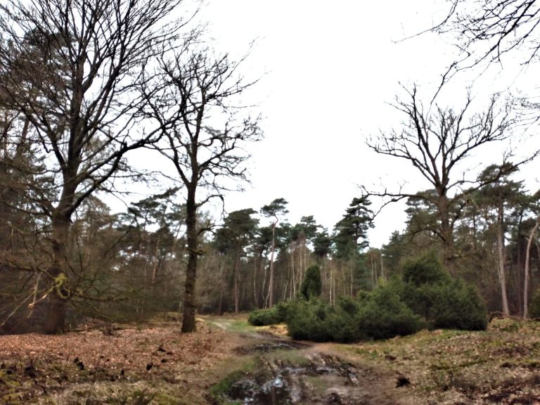
the oak with a group of juniper bushes and the large beech (the leftmost tree)
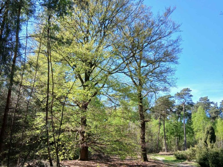
the large beech with still a few juniper bushes opposite the path
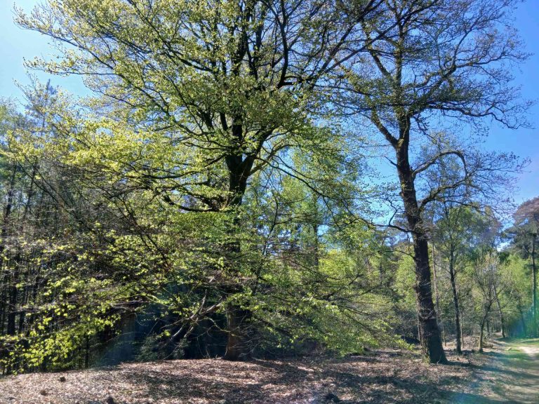
the large beech tree
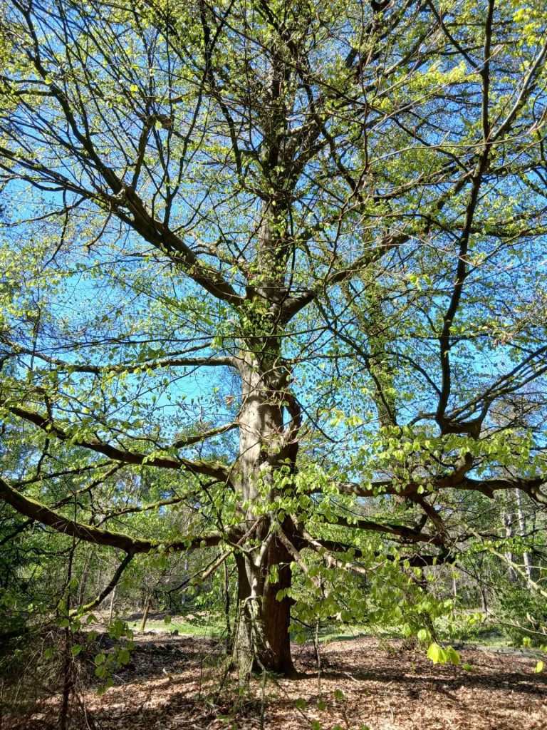
the large beech tree
Distance: from the large beech tree to the point where you can already see the car park: approx. 700 m.
From the large beech tree, continue along the path. A little further on, a path joins from the left; keep to the right. Almost immediately after that, you’ll see a fence which you pass through. Continue straight ahead.
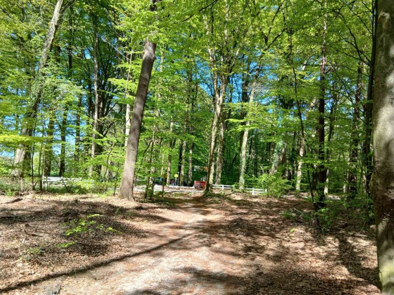
Lageweg car park in sight
Lageweg car park
We hebben je toestemming nodig om de vertalingen te laden
Om de inhoud van de website te vertalen gebruiken we een externe dienstverlener, die mogelijk gegevens over je activiteiten verzamelt. Lees het privacybeleid van de dienst en accepteer dit, om de vertalingen te bekijken.